There’s a version of experiencing New Zealand’s Southern Lakes that involves booking a guided walk, staying in huts for a few nights and arriving at the other end with abundant photos of spectacular vistas and some very good stories. This isn’t that. This is about what’s accessible as a day hike from a warm house, a proper breakfast and a car, and the answer turns out to be quite a lot.
The trails around Queenstown, Wānaka and Arrowtown reach genuinely serious terrain within an hour of leaving town. What makes this corner of New Zealand unusual is the combination: mountains that would be a destination in their own right elsewhere in the world, accessible without multi-day logistics, with a good dinner waiting at the other end.
Lingo tip: New Zealanders call hiking ‘tramping’.
Roys Peak, Wānaka
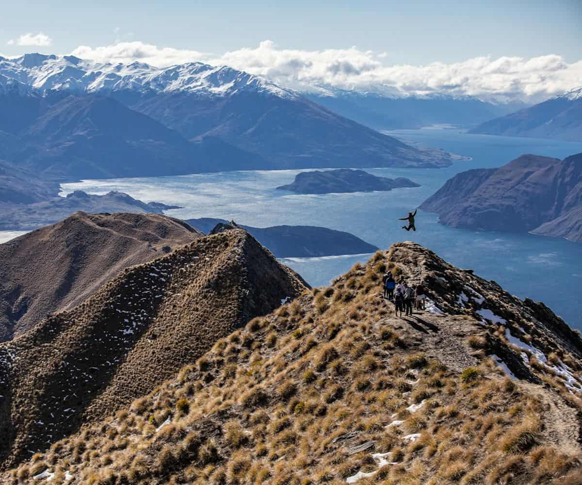
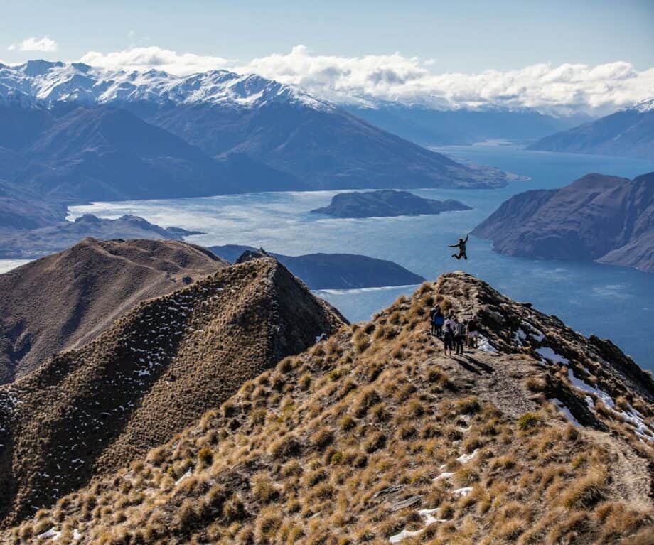
This is probably the most photographed trail in the Southern Lakes and possibly the most recognisable viewpoint in New Zealand. Although, until now, you may not have known quite where it is. The track climbs steeply from close to the lake’s edge to a ridge above Wānaka that gives you the lake, the surrounding ranges and, on a clear day, Mount Aspiring to the northwest. It’s a long day out, around six hours return, and the car park fills early. The reward for a pre-dawn start is views from the ridge as the light comes in across the water. The trail is open and exposed; bring sun protection year round and more water than seems necessary.
Rob Roy Glacier, Matukituki Valley
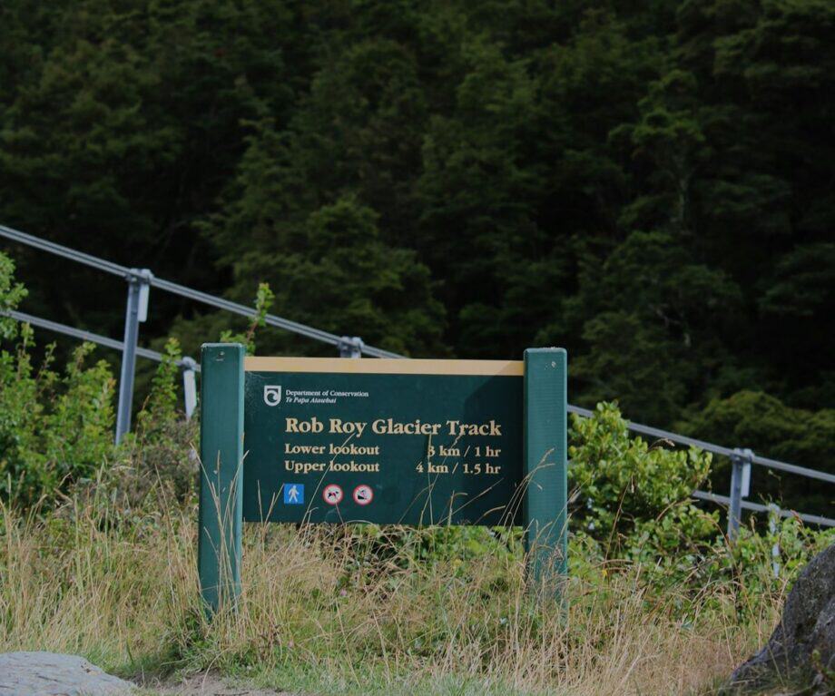
An hour’s drive from Wānaka into Mount Aspiring National Park, then a four-hour loop through red and silver beech forest to a glacier hanging above a natural amphitheatre. Waterfalls drop from the ice year-round and don’t underestimate how quickly the weather can change just an hour out of town. The drive out along the Matukituki Valley road runs alongside the river past grazing deer, an ambling river bed and the main divide up ahead; allow time for a few photo opp stops before you even reach the car park. The walk itself is graded as intermediate and well-maintained. These gradings are to be heeded; don’t attempt this hike if you’re a novice tramper, always triple check the weather forecast before leaving, and carry fuel and water for at least twice the time you think you’ll be out.
The Routeburn Track from Glenorchy
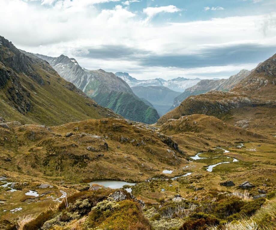
One of New Zealand’s nine Great Walks, typically completed over two to four days end to end. From the Glenorchy trailhead, accessed via a forty-five minute drive from Queenstown along the Lake Wakatipu road, the first section is accessible as a day hike in and out. The track climbs through beech forest above the Routeburn River to Routeburn Flats and, further on, Routeburn Falls, with the valley opening up and the mountains closing in progressively. Going as far as the Falls Hut and back takes around six hours. The full alpine section beyond requires an overnight stay, but the day section alone gives you a fair account of why this track has the reputation it does. From late spring to early autumn this is a hugely popular tramp, so be prepared for having to find a parking space and for meeting others on the trail.
Everything you need to plan your trip in 2026
Ben Lomond, Queenstown
The mountain that sits directly above Queenstown, visible from the town and from the lake in every direction. The standard route takes the Gondola to the ridgeline and continues on foot to the summit, a return trip of around five to six hours from the top of the Gondola and considerably longer from town. The views from the top take in the full length of Lake Wakatipu, Cecil Peak on the opposite shore, the Remarkables to the south and the Crown Range to the north. It’s a significant yet manageable climb for fit first time trampers but the trail is fully exposed above the treeline; the weather can change quickly and the summit is regularly in cloud. Worth checking the forecast and adjusting your plans accordingly while also being mindful of how many daylight hours you have.
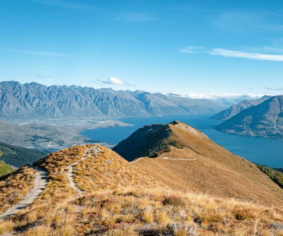
Breast Hill, Lake Hāwea
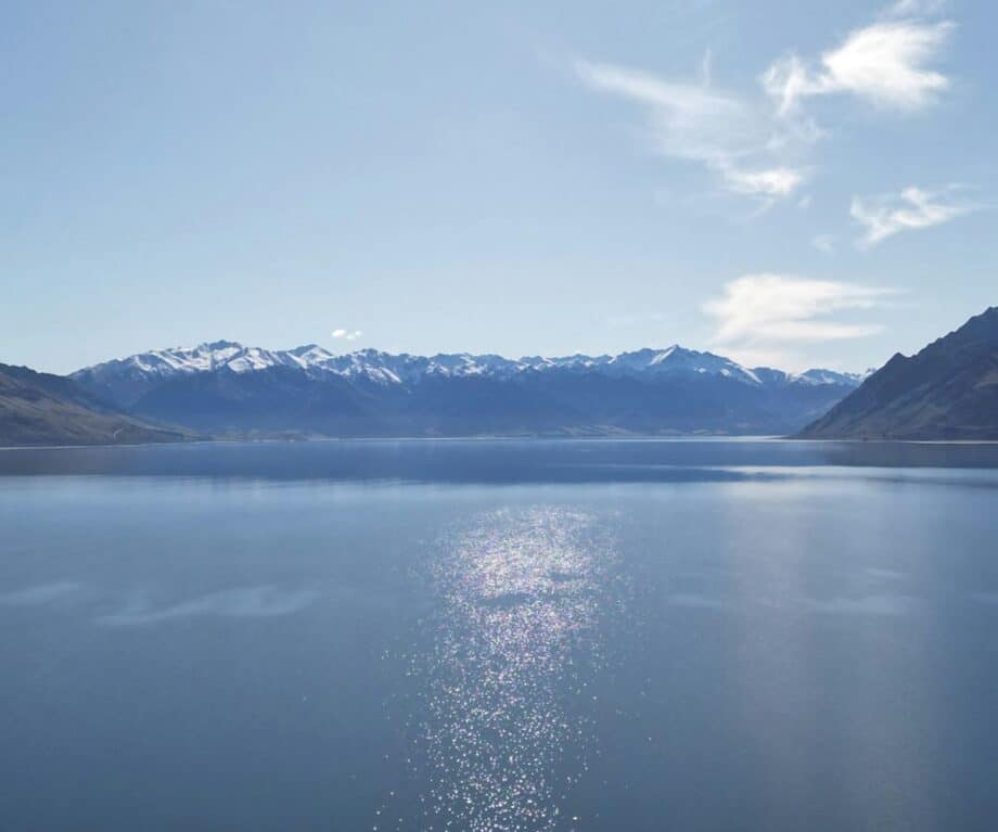
Less visited than the trails above and worth knowing about. The track climbs from the Lake Hāwea township above the eastern shore of the lake to a summit with views over both Lake Hāwea and Lake Wānaka with the narrow isthmus between the two in full view. It’s a full day return, steeper than it looks on a map, and the upper section traverses open tussock with the kind of views that make the effort retrospectively obvious. The drive from Wānaka to the trailhead is twenty minutes and takes you along the lake road that most visitors to the area don’t bother with.
A few things that apply across all of them
New Zealand mountain weather moves fast and the Southern Lakes sit at an altitude disguised by the surrounding mountains. Afternoon thunderstorms build in summer with very little warning, and the window between fine morning and deteriorating afternoon is shorter than visitors from the northern hemisphere expect. Starting early is less about beating the crowds (though it helps with that too) and more about being off exposed ridgelines before the weather turns.
The huts on the longer routes, including the Routeburn, operate on a booking system through the Department of Conservation or private hut operators; relevant if you’re planning anything beyond the day sections.
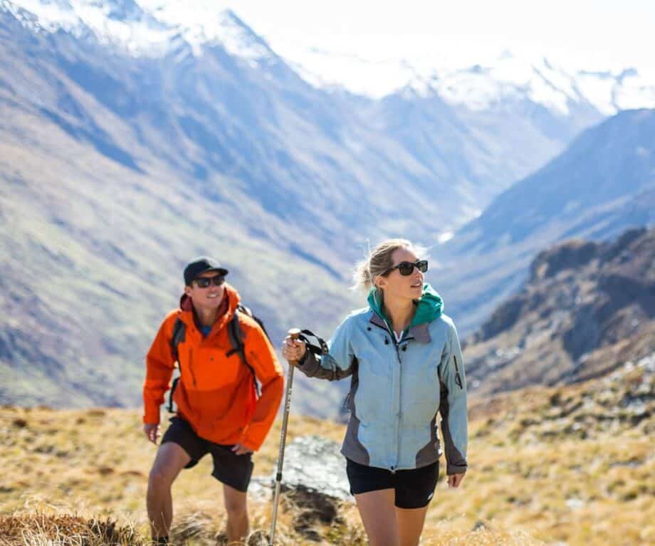
The trails listed here are graded and maintained, but they’re not manicured resort paths. Boots with ankle support and grip are worth it on anything above valley floor. The reward, in every case, is terrain that most comparable destinations would build a full guided experience around and charge accordingly.
If you hadn’t previously considered hiking (or tramping) on your trip New Zealand, how about now?

Kate Stinchcombe-Gillies
Kate Stinchcombe-Gillies is CMO of Release NZ. Release NZ represents a portfolio of luxury holiday accommodation in Wānaka and Queenstown – their passion being to connect guests to everything that makes this part of the world so special. If you would like to be a guest blogger on A Luxury Travel Blog in order to raise your profile, please contact us.
Did you enjoy this article?
Receive similar content direct to your inbox.
Please enable JavaScript in your browser to submit the form